Prickly Pear Creek Dredge
Operational 1938 to c.1963
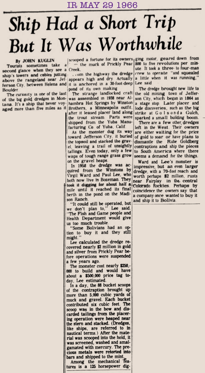
Moved to Brazil in 1977
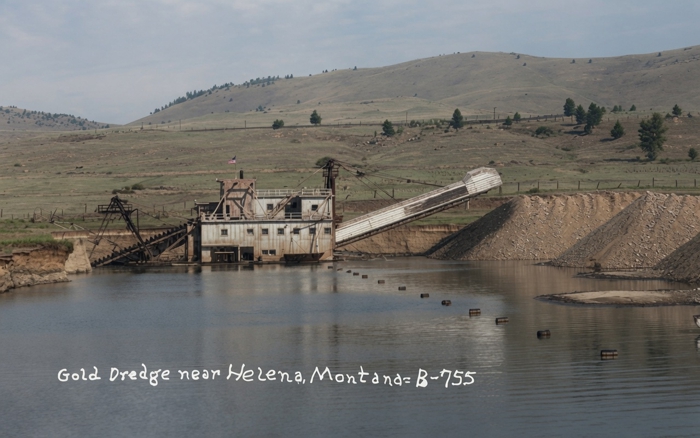
COLORIZED IMAGE
1955 Aerial Photo Detail Overlay on Recent
Satellite Image
Showing Extent of Dredging
On Pricky Pear Creek
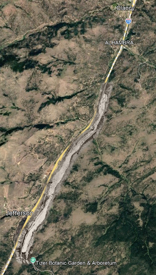
| The dredge cut a four-mile-long swath along the course of Prickly Pear Creek. |
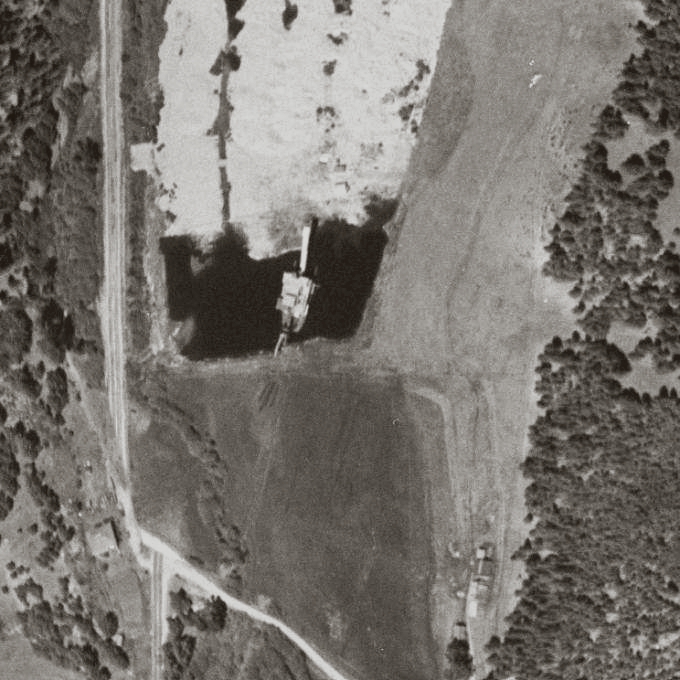
1955 Aerial Photo of the Dredge
at the Southern End of the Dredging Operation
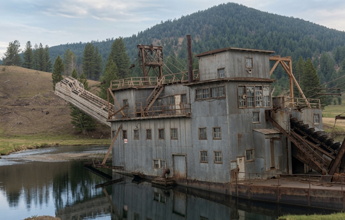
COLORIZED IMAGE
To the Amazon
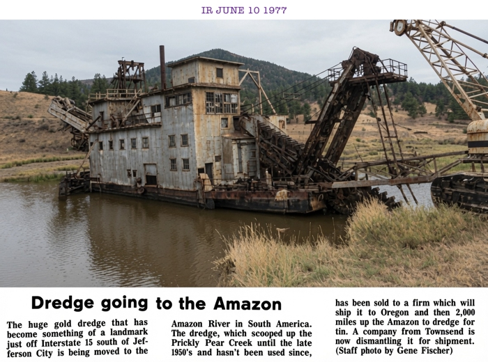
COLORIZED IMAGE
| A likely final destination of the dredge was the Brazilian cassiterite (tin) mining region of Mutum-Patlaná on the Madeira River, a tributary of the Amazon. The area is about 30 miles east of the Bolivian border. |



