
Overland
Freight and Passenger Service
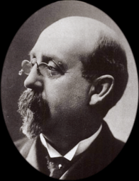
Charles Arthur
Broadwater
1840-1892
WIKIPEDIA
ENTRY
| Charles
A. Broadwater's Diamond R Freighting Company dominated overland
shipping in Montana before the coming of the railroads. The
Diamond R was headquartered in Helena from 1866 on. Broadwater
would also become deeply involved in the railroad, serving as
President of the Montana Central. Broadwater is perhaps best
known for his beautiful hotel
and natatorium which once stood on Helena's west side. |
Toll
Road from Fort Benton
Mule
Team and Wagon in Fort Benton, Montana, ca. 1880

COURTESY
MONTANA STATE UNIVERSITY LIBRARY
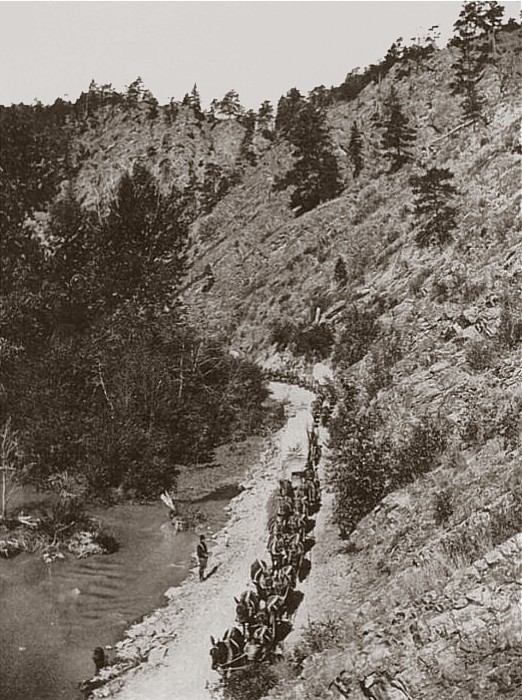
Diamond-R
Mule Train on the Benton Road
Prickly Pear Canyon, North of Helena
|
During
Helena's early years, this toll road, originating at the head
of Missouri River navigation at Fort Benton, was the main
shipping route into the area. Heavy rain and snow sometimes
made the canyon road impassable.
In 1865,
the Territorial Legislature granted a license to the Little
Prickly Pear Wagon Road Company to build a toll road through
the canyon. A year later, in 1866, Helena merchants James
King and Warren Gillette bought the road and spent $40,000
upgrading it. By then traffic on it between Fort Benton and
Helena had become so heavy, that the men were able to recoup
their expenditure within two years.
By the
early 1870s, it was part of the Benton Road, an important
freight and passenger route in the territory. Thereafter,
other roads and a railroad were constructed through the Prickly
Pear Canyon.
|
Wagon on the Benton Road
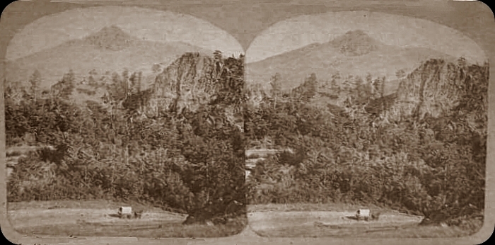
Prickly
Pear Canyon Bridge
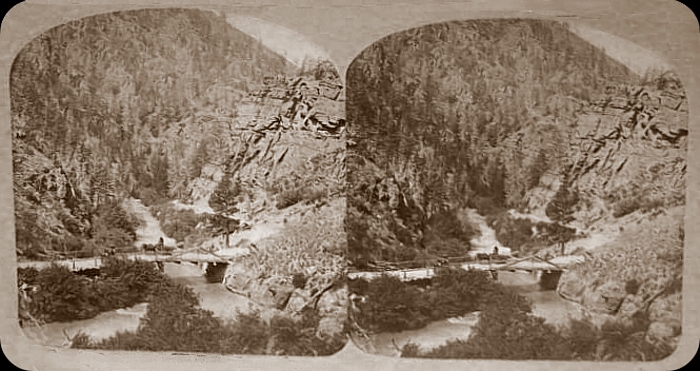

The
Montana Trail, 1871
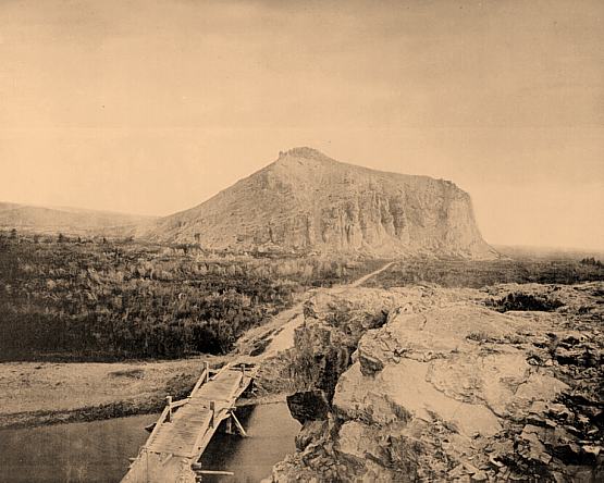
|
A section
of the stagecoach road from Corinne,
Utah to Helena, crossing the Beaverhead River at Point
of Rocks, halfway between Dillon and Twin Bridges, 1871.
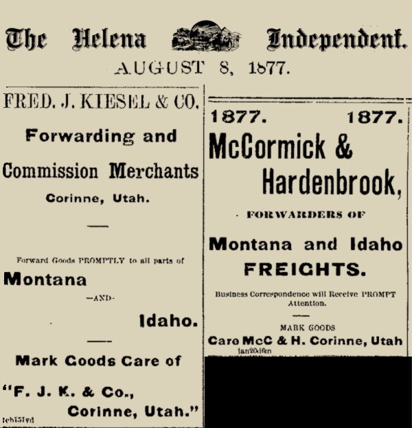
Corinne
was founded in 1869 as a freight-transfer point on the new
Union Pacific Railway line for the shipment of goods and supplies
to the mining towns of western Montana along the Montana Trail,
the most important early-day land route.
|
Point
of Rocks Stagecoach Station, 1895
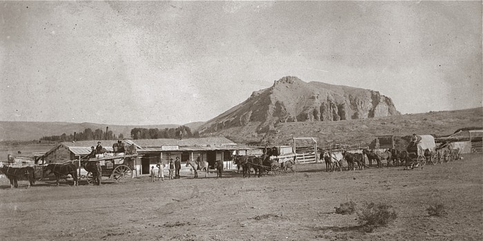
COURTESY
MONTANA STATE UNIVERSITY LIBRARY
Point
of Rocks Stagecoach Station, 1957
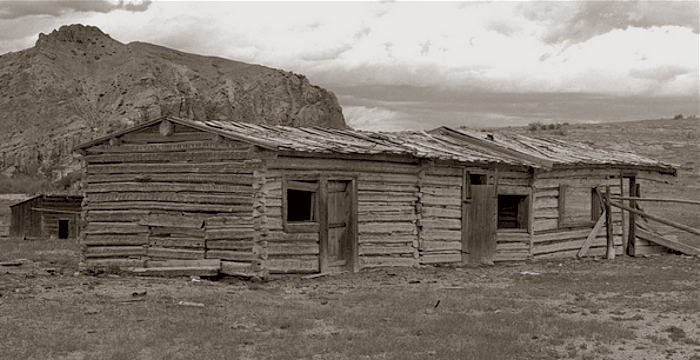
COURTESY
MONTANA STATE UNIVERSITY LIBRARY

The Carroll Trail
Established
by the Merchants of Helena in 1875
as an Alternative to the Benton Road & Montana Trail
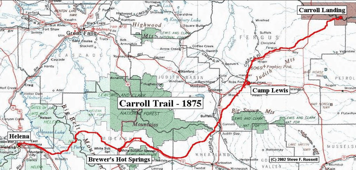
|
Both the
Benton Road and the Montana Trail were expensive and unreliable,
so Helena merchants developed the Carroll Trail, named for
one of the owners of the Diamond R freight company. Steve
F. Russell of Historic Trails Research in Ames, Iowa, has
written a concise
history of the Carroll Trail (pdf file).
This about
the Carroll Trail by Hal G. Strearns, writing in the 4/11/1977
Helena Independent Record:
"In
1874 the Northern Pacific had gotten as far as Bismarck and
from there the boats
labored up to Carroll, some 75 miles east of Lewistown, about
30 miles upstream from the
mouth of the Musselshell. It was March 16, 1874 when the teamsters
began trekking
from Helena to Carroll, working for the Diamond R Transportation
Co, which belonged to
Col. Broadwater, Mathew Carroll, George Steele and E.G. Maclay.
Their wagons could
make about 13 miles a day, a parade of teams two to three
miles in length.
"The Carroll Trail followed the Helena valley to Clasoil,
then via the present day Highway 284
to Canyon Ferry, through White's Gulch, over the Belts, to
Fort Logan, Brewer's Hot
Springs, down the Musselshell, through the Judith Gap to Roy
and to Carroll.
"Very
little remains of Carroll, the river's waters having done
in the famed port. And precious little is left of Fort Maginnis
where troops were stationed to handle marauding Indians."
|
Back
to Transportation

|

